1. Major Empires
31 B.C - 1949. U-Spatial (University of Minnesota). Greatest extents of the British, Mongol, and Roman Empires during their territorial peaks. The spatial extent of each empire represents the territo...
31 B.C - 1949. U-Spatial (University of Minnesota). Greatest extents of the British, Mongol, and Roman Empires during their territorial peaks. The spatial extent of each empire represents the territo...
between 1100 and 1400. Jerusalem--Maps.
1482. Ptolemy, active 2nd century. Spain--Maps--Early works to 1800--Facsimiles.
1490. Ptolemy, active 2nd century. Scale not given; 1 map: color; sheet 36 x 50 cm World maps--Early works to 1800--Facsimiles. Carlos Sanz.
between 1492 and 1493. Raisz, Erwin, 1893-1968. Columbus, Christopher--Travel--Maps.
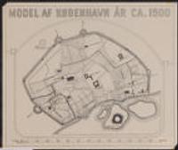
1500. Relief shown pictorially.; Shows borders.; "Publised by James Wyld (successor to Mr. Faden) Geographer to His Majesty. Charing Cross. East. 1833." ... publisher location not identified (publisher not identified).
Early Modern Period and 1500-1800. Benito-Vessels, Carmen. This interactive guide intends to accompany Carmen Benito-Vessels’ research (https://www.anle.us/publicaciones/biblioteca-digital/espana-y-la-cost...
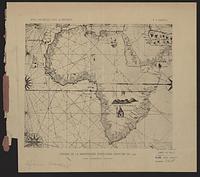
1502. France. Comité des travaux historiques et scientifiques and Mappemonde Portugaise anonyme de 1502. Trs lgrement rduite. From Bulletin de geographie historique et descriptive, v. 1, 1886. Map is opp. p. 382. Discussion of map, p. 147-160. 1 map; 8...
1521. Magalhães, Fernão de, -1521--Maps--Facsimiles.
1538. Mercator, Gerhard, 1512-1594. Scale not given; 1 map in 2 sections; on sheet 35 cm World maps--Early works to 1800--Facsimiles. Carlos Sanz.