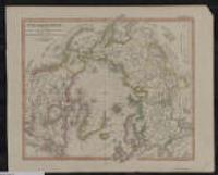
1. Nord-Polar-karte.
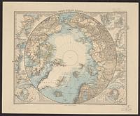
1888. Stieler, Adolf, 1775-1836. Relief shown by hachures and spot heights. Includes 12 ancillary detailed maps of various polar regions. "Steiler's hand atlas no. 10." 1 map: col....
1888. Stieler, Adolf, 1775-1836. Relief shown by hachures and spot heights. Includes 12 ancillary detailed maps of various polar regions. "Steiler's hand atlas no. 10." 1 map: col....
1956-present. The Polar Geospatial Center curates a polar historical and contemporary map catalog from many organizations. Historical paper maps have been digita...
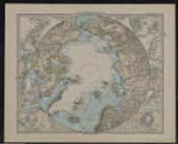
1883. Stieler, Adolf, 1775-1836. Relief shown by hachures; depths shown by gradient tints.; Polar projection.; "Stieler's Hand-atlas No. 10."; "Entw. v. Herm. Berghaus 1879. Nachtr... Justus Perthes (Gotha).
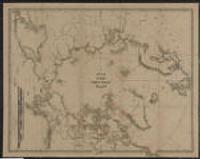
1879. Bauman, Wm. (William). Shows destinations and some routes of arctic explorers 1553-1879.; Contains view: Wrangell Land "as seen from Bark Nile of New London, Capt. Th. Lo... Graphic Co (New York).
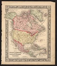
1860. Williams, W. (Wellington). Relief shown by hachures. Shows major cities, political divisions including Russian America, Danish America, British America, and Central America. ...
1846. Stieler, Adolf, 1775-1836. In upper right: Ausg. in 63 Bl. No. VIII. Stieler's Hand-Atlas (No. 41b).; Below title: "Revidirt, nachgetragen u. neu gestochen 1846." 36 x 30 cen... Perthes (Gotha).
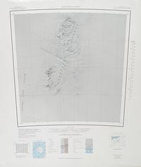
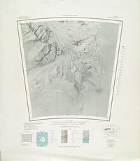
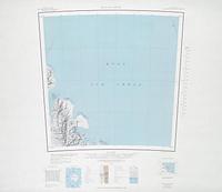
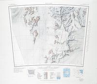
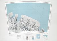
1953. Projection: Polar Stereographic Projection; Series: AMS C501 Greenland 1:250,000 Topographic Series. National Geospatial-Intelligence Agency.
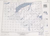
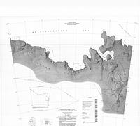
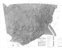
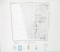
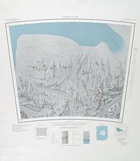
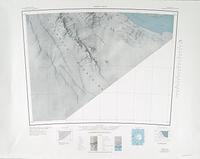
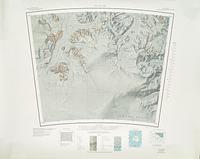
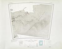
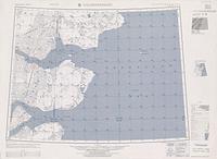
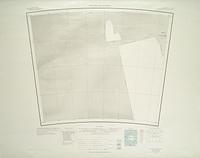
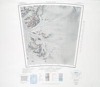
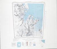
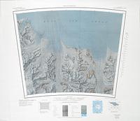
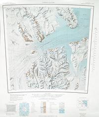
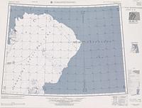
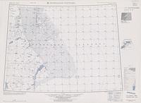
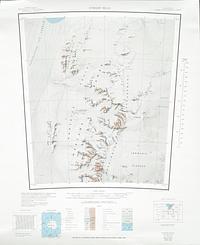
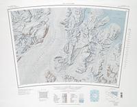
1967. Projection: Polar Stereographic Projection: Standard Parallel -80º14'; Series: USGS 1:250,000 Topographic Reconnaissance Series. United States Geological Survey.
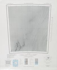
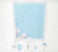
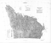
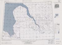
1968. Projection: Polar Stereographic Projection: Standard Parallel -80º14'; Series: USGS 1:250,000 Topographic Reconnaissance Series. United States Geological Survey.
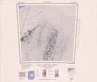
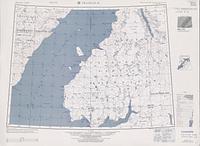
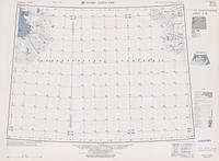
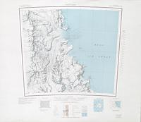
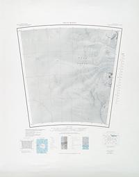
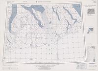
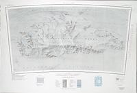
1967. Projection: Polar Stereographic Projection: Standard Parallel -71º; Series: USGS Sketch Maps. United States Geological Survey.
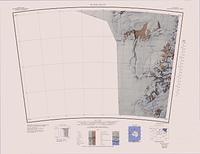
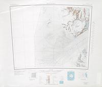
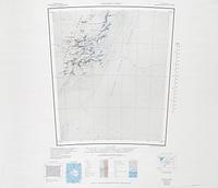
1989. Projection: Polar Stereographic Projection: Standard Parallel -80º14'; Series: USGS 1:250,000 Topographic Reconnaissance Series. United States Geological Survey.
1968. Projection: Polar Stereographic Projection: Standard Parallel -80º14'; Series: USGS 1:250,000 Topographic Reconnaissance Series. United States Geological Survey.
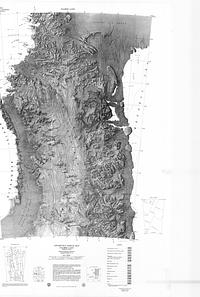
1989. Projection: Polar Stereographic Projection: Standard Parallel -80º14'; Series: USGS 1:250,000 Topographic Reconnaissance Series. United States Geological Survey.
1967. Projection: Polar Stereographic Projection: Standard Parallel -71º; Series: USGS Sketch Maps. United States Geological Survey.
1953. Projection: Polar Stereographic Projection; Series: AMS C501 Greenland 1:250,000 Topographic Series. National Geospatial-Intelligence Agency.
1954. Projection: Polar Stereographic Projection; Series: AMS C501 Greenland 1:250,000 Topographic Series. National Geospatial-Intelligence Agency.
1968. Projection: Polar Stereographic Projection: Standard Parallel -80º14'; Series: USGS 1:250,000 Topographic Reconnaissance Series. United States Geological Survey.
1966. Projection: Polar Stereographic Projection: Standard Parallel -80º14'; Series: USGS 1:250,000 Topographic Reconnaissance Series. United States Geological Survey.
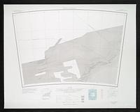
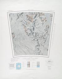
1963. Projection: Polar Stereographic Projection: Standard Parallel -80º14'; Series: USGS 1:250,000 Topographic Reconnaissance Series. United States Geological Survey.
1953. Projection: Polar Stereographic Projection; Series: AMS C501 Greenland 1:250,000 Topographic Series. National Geospatial-Intelligence Agency.
1966. Projection: Polar Stereographic Projection: Standard Parallel -80º14'; Series: USGS 1:250,000 Topographic Reconnaissance Series. United States Geological Survey.
1968. Projection: Polar Stereographic Projection: Standard Parallel -80º14'; Series: USGS 1:250,000 Topographic Reconnaissance Series. United States Geological Survey.
1967. Projection: Polar Stereographic Projection: Standard Parallel -80º14'; Series: USGS 1:250,000 Topographic Reconnaissance Series. United States Geological Survey.
1968. Projection: Polar Stereographic Projection: Standard Parallel -80º14'; Series: USGS 1:250,000 Topographic Reconnaissance Series. United States Geological Survey.
1963. Projection: Polar Stereographic Projection: Standard Parallel -80º14'; Series: USGS 1:250,000 Topographic Reconnaissance Series. United States Geological Survey.
1953. Projection: Polar Stereographic Projection; Series: AMS C501 Greenland 1:250,000 Topographic Series. National Geospatial-Intelligence Agency.
1963. Projection: Polar Stereographic Projection: Standard Parallel -80º14'; Series: USGS 1:250,000 Topographic Reconnaissance Series. United States Geological Survey.
1989. Projection: Polar Stereographic Projection: Standard Parallel -80º14'; Series: USGS 1:250,000 Topographic Reconnaissance Series. United States Geological Survey.
1989. Projection: Polar Stereographic Projection: Standard Parallel -80º14'; Series: USGS 1:250,000 Topographic Reconnaissance Series. United States Geological Survey.
1989. Projection: Polar Stereographic Projection: Standard Parallel -80º14'; Series: USGS 1:250,000 Topographic Reconnaissance Series. United States Geological Survey.
1989. Projection: Polar Stereographic Projection: Standard Parallel -80º14'; Series: USGS 1:250,000 Topographic Reconnaissance Series. United States Geological Survey.
1966. Projection: Polar Stereographic Projection: Standard Parallel -80º14'; Series: USGS 1:250,000 Topographic Reconnaissance Series. United States Geological Survey.
1966. Projection: Polar Stereographic Projection: Standard Parallel -80º14'; Series: USGS 1:250,000 Topographic Reconnaissance Series. United States Geological Survey.
1989. Projection: Polar Stereographic Projection: Standard Parallel -80º14'; Series: USGS 1:250,000 Topographic Reconnaissance Series. United States Geological Survey.
1967. Projection: Polar Stereographic Projection: Standard Parallel -80º14'; Series: USGS 1:250,000 Topographic Reconnaissance Series. United States Geological Survey.
1967. Projection: Polar Stereographic Projection: Standard Parallel -80º14'; Series: USGS 1:250,000 Topographic Reconnaissance Series. United States Geological Survey.
1966. Projection: Polar Stereographic Projection: Standard Parallel -80º14'; Series: USGS 1:250,000 Topographic Reconnaissance Series. United States Geological Survey.
1953. Projection: Polar Stereographic Projection; Series: AMS C501 Greenland 1:250,000 Topographic Series. National Geospatial-Intelligence Agency.
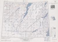
1968. Projection: Polar Stereographic Projection: Standard Parallel -71º; Series: USGS Sketch Maps. United States Geological Survey.
1963. Projection: Polar Stereographic Projection: Standard Parallel -80º14'; Series: USGS 1:250,000 Topographic Reconnaissance Series. United States Geological Survey.
1979. Projection: Polar Stereographic Projection: Standard Parallel -71º; Series: USGS Sketch Maps. United States Geological Survey.
1953. Projection: Polar Stereographic Projection; Series: AMS C501 Greenland 1:250,000 Topographic Series. National Geospatial-Intelligence Agency.
1953. Projection: Polar Stereographic Projection; Series: AMS C501 Greenland 1:250,000 Topographic Series. National Geospatial-Intelligence Agency.
1953. Projection: Polar Stereographic Projection; Series: AMS C501 Greenland 1:250,000 Topographic Series. National Geospatial-Intelligence Agency.
1989. Projection: Polar Stereographic Projection: Standard Parallel -80º14'; Series: USGS 1:250,000 Topographic Reconnaissance Series. United States Geological Survey.
1989. Projection: Polar Stereographic Projection: Standard Parallel -80º14'; Series: USGS 1:250,000 Topographic Reconnaissance Series. United States Geological Survey.
1967. Projection: Polar Stereographic Projection: Standard Parallel -80º14'; Series: USGS 1:250,000 Topographic Reconnaissance Series. United States Geological Survey.
1984. Projection: Polar Stereographic Projection: Standard Parallel -80º14'; Series: USGS 1:250,000 Topographic Reconnaissance Series. United States Geological Survey.
1963. Projection: Polar Stereographic Projection: Standard Parallel -80º14'; Series: USGS 1:250,000 Topographic Reconnaissance Series. United States Geological Survey.
1989. Projection: Polar Stereographic Projection: Standard Parallel -80º14'; Series: USGS 1:250,000 Topographic Reconnaissance Series. United States Geological Survey.