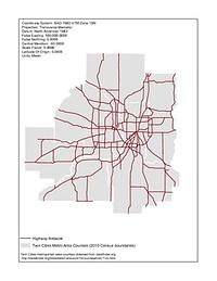
1. Historic County Boundaries and Total Population: United States, 1800
1800. University of Minnesota. Minnesota Population Center. This boundary file contains historic county boundaries for which the U.S. Census Bureau tabulated data and was produced by the Minnesota Population... National Historical Geographic Information System (NHGIS).
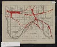
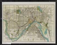
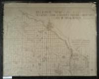
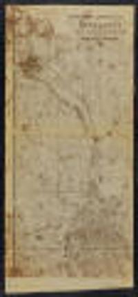
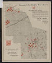
![Davisons [sic] map 25 miles around Minneapolis : 1881 corrected to 1884](https://geo.btaa.org/rails/active_storage/representations/redirect/eyJfcmFpbHMiOnsibWVzc2FnZSI6IkJBaHBBbDF5IiwiZXhwIjpudWxsLCJwdXIiOiJibG9iX2lkIn19--e2a371359b0a0b478005b350887b5a48c3690be0/eyJfcmFpbHMiOnsibWVzc2FnZSI6IkJBaDdCem9MWm05eWJXRjBTU0lKYW5CbFp3WTZCa1ZVT2hKeVpYTnBlbVZmZEc5ZlptbDBXd2RwQWNndyIsImV4cCI6bnVsbCwicHVyIjoidmFyaWF0aW9uIn19--fb19b03b9eb4e78013d4cfb2b84169f3537e0279/p16022coll245-869.jpeg)
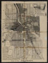
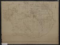
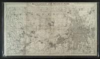
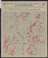
![Davisons [sic] map 25 miles around the Twin Cities : 1881 corrected to 1889](https://geo.btaa.org/rails/active_storage/representations/redirect/eyJfcmFpbHMiOnsibWVzc2FnZSI6IkJBaHBBbDV5IiwiZXhwIjpudWxsLCJwdXIiOiJibG9iX2lkIn19--1cfa66af7e0468ba51cd76e61726920357368cc6/eyJfcmFpbHMiOnsibWVzc2FnZSI6IkJBaDdCem9MWm05eWJXRjBTU0lKYW5CbFp3WTZCa1ZVT2hKeVpYTnBlbVZmZEc5ZlptbDBXd2RwQWNndyIsImV4cCI6bnVsbCwicHVyIjoidmFyaWF0aW9uIn19--fb19b03b9eb4e78013d4cfb2b84169f3537e0279/p16022coll245-896.jpeg)
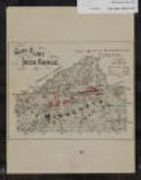
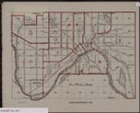
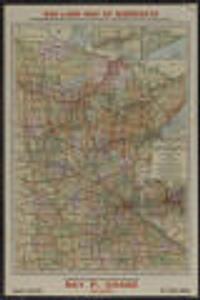
![[Lake Minnetonka]](https://geo.btaa.org/rails/active_storage/representations/redirect/eyJfcmFpbHMiOnsibWVzc2FnZSI6IkJBaHBBaVZpIiwiZXhwIjpudWxsLCJwdXIiOiJibG9iX2lkIn19--2ee1c78335276e7cefc119cdac041d03e088d739/eyJfcmFpbHMiOnsibWVzc2FnZSI6IkJBaDdCem9MWm05eWJXRjBTU0lKYW5CbFp3WTZCa1ZVT2hKeVpYTnBlbVZmZEc5ZlptbDBXd2RwQWNndyIsImV4cCI6bnVsbCwicHVyIjoidmFyaWF0aW9uIn19--fb19b03b9eb4e78013d4cfb2b84169f3537e0279/p16022coll230-675.jpeg)
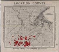
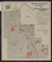
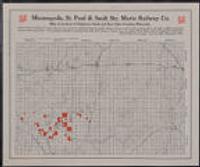
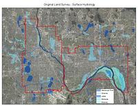
![Racial Covenants [Hennepin County, Minnesota] (1910-1955)](https://geo.btaa.org/rails/active_storage/representations/redirect/eyJfcmFpbHMiOnsibWVzc2FnZSI6IkJBaHBBZ05wIiwiZXhwIjpudWxsLCJwdXIiOiJibG9iX2lkIn19--6b92ffee4333718a6c6e2f09654bbde875876e28/eyJfcmFpbHMiOnsibWVzc2FnZSI6IkJBaDdCem9MWm05eWJXRjBTU0lKYW5CbFp3WTZCa1ZVT2hKeVpYTnBlbVZmZEc5ZlptbDBXd2RwQWNndyIsImV4cCI6bnVsbCwicHVyIjoidmFyaWF0aW9uIn19--fb19b03b9eb4e78013d4cfb2b84169f3537e0279/0455d309-e4e9-473e-8c3f-b42a6a2e16fc.jpeg)