1. Map of Marion County, Indiana showing highways & roads
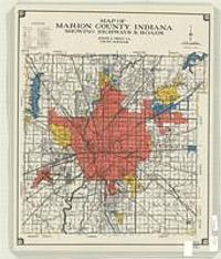
1968?. Prout, Joseph E., cartographer. January 1, 1968. Scale approximately 1:60,000. Not 1 = 1/2 mile. County Surveyor.
1968?. Prout, Joseph E., cartographer. January 1, 1968. Scale approximately 1:60,000. Not 1 = 1/2 mile. County Surveyor.
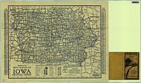
1920-1930. Clason Map Co. 1 map. Clason Map Co.
Pennsylvania--Philadelphia. This layer delineates the six districts of the Highway Division of the City of Philadelphia Streets Department.
Pennsylvania--Philadelphia. This layer delineates the 703 subsections of the Highway Division of the City of Philadelphia Streets Department.
Pennsylvania--Philadelphia. This layer delineates the fifty-six sections of the Highway Division of the City of Philadelphia Streets Department. Sections can be aggregated int...
Pennsylvania--Philadelphia. This layer delineates the six districts of the Highway Division of the City of Philadelphia Streets Department.
Pennsylvania--Philadelphia. This layer delineates the Arcs of the Polygons of the 703 subsections of the Highway Division of the City of Philadelphia Streets Department. Subse...
1924. Chicago Motor Club. Red and black.; Panel title.; Text and advertisements on verso. 23.75 x 18 in Scale approximately 1:1,140,480 General Map Collection. Chicago Motor Club (Chicago).
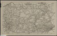
1925. Pennsylvania State Chamber of Commerce. State Publicity Bureau. Shows Federal Aid Highway System, portions of System improved and under construction and national parks.; "Data corrected to Dec. 31, 1926." 55 x 9... Pennsylvania Chamber of Commerce (Harrisburg), 1925.
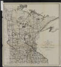
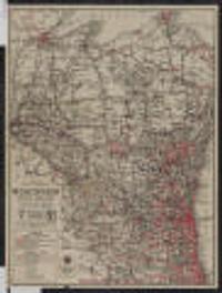
1914?. Minnesota. State Highway Commission. 64 x 58 centimeters Scale 1:1,013,760. Statute miles 16 = 1 in. General Minnesota Maps. [publisher not identified], (Saint Paul?).