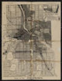
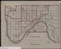
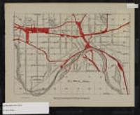
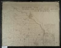
Search

You searched for: land use minneapolis Remove constraint land use minneapolis

Search Results

5. Use district map

Use district map

1924. Minneapolis (Minn.). City Planning Commission. Shows districts by type of use. Prime meridian: Greenwich.; Verso: Wisconsin automobile road map.; "140D" in lower right. on sheet 55 x 43 centimet... City Planning Commission (Minneapolis, Minn).

6. Twin Cities State Highway Network (1920-1995)

Twin Cities State Highway Network (1920-1995)

1920-1995. Chen, Wei and Levinson, David M. Illustrates the development of the highway network in the Twin Cities metropolitan region. GIS maps of the state highway network were created for 1...

14. Transit Stations [Minnesota--Minneapolis]

Datasets

Continually updated resource. MapIT Minneapolis. For questions about this data please contactCPEDOpenData@minneapolismn.govDesignated land use features from the City's adopted comprehensive plan.

15. ThriveMSP 2040 Community Designations [Minnesota]

Datasets

2024-01-19. Metropolitan Council of the Twin Cities Area. The ThriveMSP 2040 Community Designations was adopted on May 28, 2014. This dataset reflects the agreed upon community designation between a commun...

17. St. Paul, Minn.

St. Paul, Minn.

approximately 1912. 19 x 26 centimeters Minneapolis and St. Paul Maps and Atlases. [publisher not identified], (Minn.?).