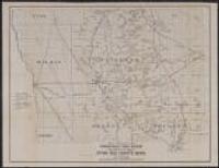
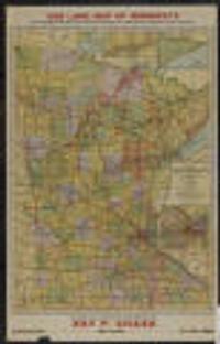
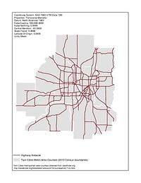
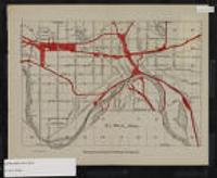
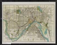
1. USGS High Resolution Orthoimagery, Minneapolis-, Spring 2012 [Minnesota--St. Paul]
U.S. Geological Survey (USGS) and Digital Aerial Solutions, LLC. This dataset consists of 0.3-meter pixel resolution (approximately 1-foot), natural color orthoimages covering the Minneapolis-St. Paul urban area ...
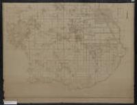
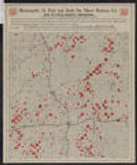
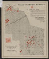
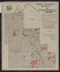
![Racial Covenants [Hennepin County, Minnesota] (1910-1955)](https://geo.btaa.org/rails/active_storage/representations/redirect/eyJfcmFpbHMiOnsibWVzc2FnZSI6IkJBaHBBZ05wIiwiZXhwIjpudWxsLCJwdXIiOiJibG9iX2lkIn19--6b92ffee4333718a6c6e2f09654bbde875876e28/eyJfcmFpbHMiOnsibWVzc2FnZSI6IkJBaDdCem9MWm05eWJXRjBTU0lKYW5CbFp3WTZCa1ZVT2hKeVpYTnBlbVZmZEc5ZlptbDBXd2RwQWNndyIsImV4cCI6bnVsbCwicHVyIjoidmFyaWF0aW9uIn19--fb19b03b9eb4e78013d4cfb2b84169f3537e0279/0455d309-e4e9-473e-8c3f-b42a6a2e16fc.jpeg)
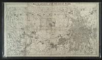
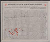
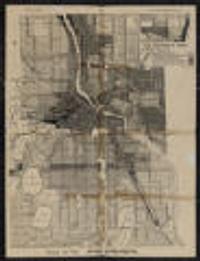
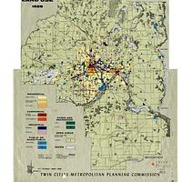
![Metropolitan Urban Service Areas (MUSA) Composite [Minnesota]](https://geo.btaa.org/rails/active_storage/representations/redirect/eyJfcmFpbHMiOnsibWVzc2FnZSI6IkJBaHBBaFdXIiwiZXhwIjpudWxsLCJwdXIiOiJibG9iX2lkIn19--aff95d9a14879dcfe505de79fd4665a571b4df3d/eyJfcmFpbHMiOnsibWVzc2FnZSI6IkJBaDdCem9MWm05eWJXRjBTU0lKYW5CbFp3WTZCa1ZVT2hKeVpYTnBlbVZmZEc5ZlptbDBXd2RwQWNndyIsImV4cCI6bnVsbCwicHVyIjoidmFyaWF0aW9uIn19--fb19b03b9eb4e78013d4cfb2b84169f3537e0279/3fd08f21-f937-4b7d-b89a-3c7dfd0f15f3.jpeg)