Search

You searched for: land use minneapolis Remove constraint land use minneapolis

Search Results

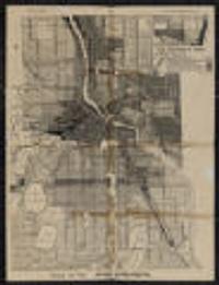
5. Use district map

Use district map

1924. Minneapolis (Minn.). City Planning Commission. Shows districts by type of use. Prime meridian: Greenwich.; Verso: Wisconsin automobile road map.; "140D" in lower right. on sheet 55 x 43 centimet... City Planning Commission (Minneapolis, Minn).

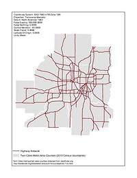
6. Twin Cities State Highway Network (1920-1995)

Twin Cities State Highway Network (1920-1995)

1920-1995. Chen, Wei and Levinson, David M. Illustrates the development of the highway network in the Twin Cities metropolitan region. GIS maps of the state highway network were created for 1...