Explore Maps and Data
- Wisconsin12,914
- Indiana12,539
- Pennsylvania8,076
- Minnesota7,186
- New Jersey6,805
- United States4,794
- Iowa4,641
- Illinois3,943
- Fire insurance maps15,041
- Cadastral maps7,841
- Topographic maps5,209
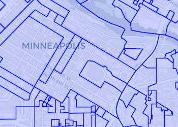
- Polygon data5,084
- Remote-sensing maps4,781
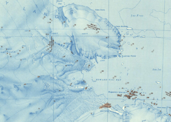
- Military maps4,182
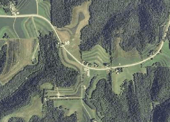
- Satellite imagery4,014
- Raster data3,736
The Big Ten Academic Alliance Geoportal provides discoverability and facilitates access to geospatial resources. The resources in the portal are selected and curated by librarians and geospatial specialists at fifteen research institutions in the Big Ten Academic Alliance.
The resources include GIS datasets, web services, and digitized historical maps. Learn more about the research institutions involved and the sources of the geospatial records.
Follow Our Blog Keep up to date with all the latest news.


